Nebraska Game and Parks Commission
Indian Cave
Overview
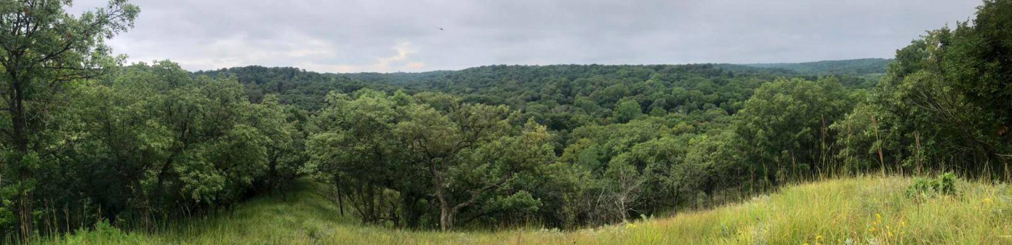
The Indian Cave plot is one of two plots in Nebraska, USA that sample the semi-arid, boundary forests of grassland regions that in the USA occur at the prairie-forest ecotone (the other being Niobrara). The Indian Cave plot is located in Indian Cave State Park, which comprises one of the few remaining large tracts of a formerly widespread forest system lining the loess bluffs along the Missouri River floodplain. On these well-drained loess soils, even small elevation differences have huge consequences for soil water availability, producing well-defined elevational ranges of tree species and favoring prairies at the tops of the bluffs. With eastern redbud (Cercis canadensis), two cherry species (Prunus virginiana, P. serotina), catalpa (Catalpa speciosa), and pale dogwood (Cornus amomum), the Indian Cave plot provides hilltop vistas of beautiful early spring flowering trees.
Size:
18.40ha
Dimensions:
400 m x 460
Longitude: -95.537000000000