University of Montana
What's killing Yosemite's trees?
This great BBC feature follows ten years of research at the Yosemite FDP.
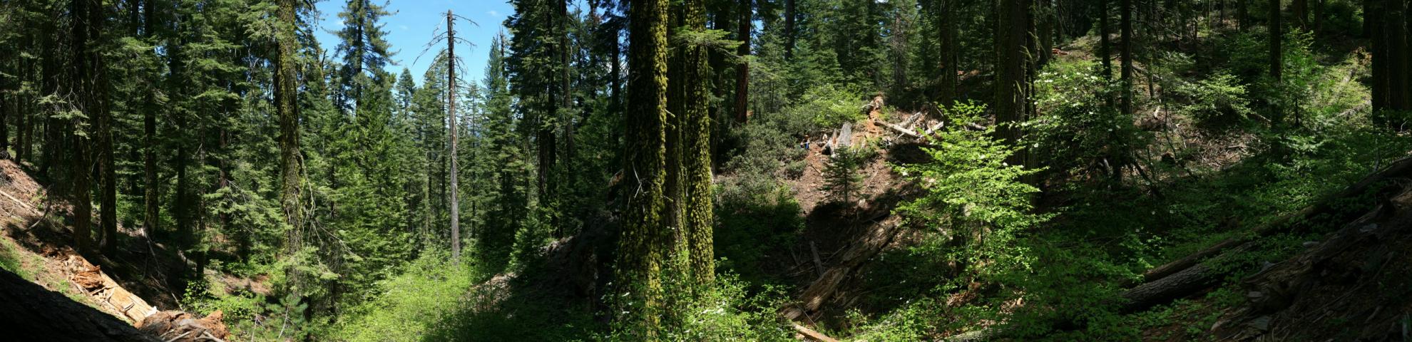
The Yosemite Forest Dynamics Plot (YFDP) is located near Crane Flat in Yosemite National Park. The plot lies in the white fir superassociation, with the principal tree species being Abies concolor, Pinus lambertiana, Calocedrus decurrens, and Quercus kelloggii. The YFDP was burned in the 2013 Rim Fire with a burn heterogeneity characteristic of Sierra Nevada lower montane forests. Forest basal area was 64.32 m2 ha-1 pre-fire and 56.71 m2 ha-1 post-fire (there were 10,260 live stems post-fire). Emergent trees are 65 m to 70 m tall. The climate of the YFDP is Mediterranean. Mean high temperatures in July are 26°C; mean low temperatures in February are -3°C. Annual precipitation averages 1,100 mm, with most precipitation falling in the winter (November through March).
Overview information can be found in: Lutz, J. A., A. J. Larson, M. E. Swanson, and J. A. Freund. 2012. Ecological importance of large-diameter trees in a temperate mixed-conifer forest. PLoS ONE 7(5): e36131. Link: https://doi.org/10.1371/journal.pone.0036131
Our research objectives include mechanistic understanding of tree mortality including the effects of interannual climate variation on the rates and causes of mortality as described in: Lutz, J. A. 2015. The evolution of long-term data for forestry: large temperate research plots in an era of global change. Northwest Science 89(3): 255-269. Link: https://doi.org/10.3955/046.089.0306
This great BBC feature follows ten years of research at the Yosemite FDP.