Earthwatch Institute
Wytham Woods
Overview
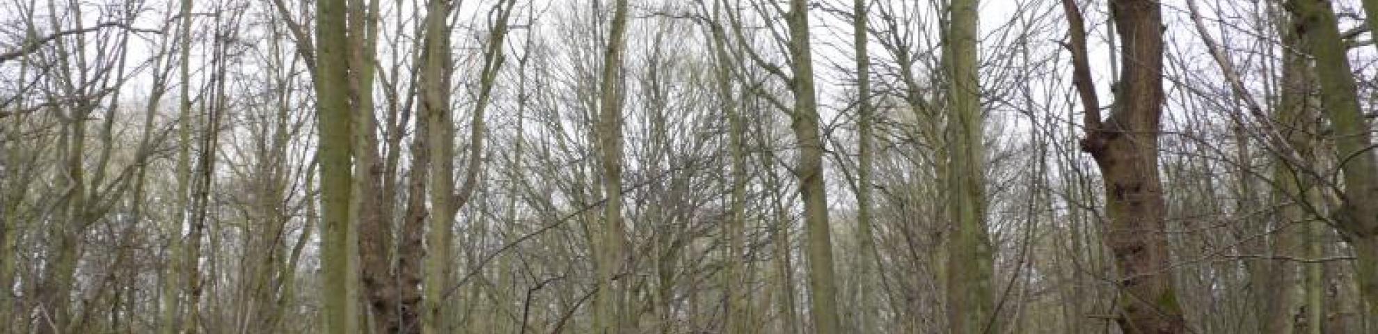
Wytham Woods is a mixed deciduous forest in southern England. It covers approximately 400 ha, which is a relatively large woodland for the UK and includes a range of different soil types and management histories. Wytham is owned by Oxford University and is used by the Centre for Ecology and Hydrology (CEH) as a long-term monitoring site in the UK Environmental Change Network (ECN). A flux tower has occasionally operated on the site, measuring stand-scale carbon and water fluxes; a canopy walkway gives access to the leaves of canopy trees, and several studies of tree ecophysiology have been carried out there. A network of small (10 m x 10 m) ECN forest-monitoring plots is distributed across the site, and a 1-ha plot forms a focus for carbon-dynamics studies, including soil processes and tree growth. The core ForestGEO plot covers 18 ha (300 m x 600 m), and has been surveyed in detail by airborne lidar and hyperspectral sensors, and by terrestrial lidar.
Nathalie Butt and Mike Morecroft were influential in conducting the 2008 and 2010 censuses at Wytham Woods. Any papers using 2008 and 2010 census data should list them as co-authors.
Established:
2008
Ecological Zone:
Temperate oceanic forest
Number of species:
24Number of stems:
20,258Number of Trees:
16,212Number of plot(s):
1Size:
18.00ha
Dimensions:
300 x 600
Longitude: -1.337900000000
Number of Censuses:
3