Quantifying Aboveground Biomass Over 50-ha Tropical Forest Dynamic Plot in Pasoh, Malaysia Using LIDAR and Census Data
Airborne light detection and ranging (LiDAR) instruments have been widely used for quantification of forest biomass. This study investigated the relationships between LiDAR data
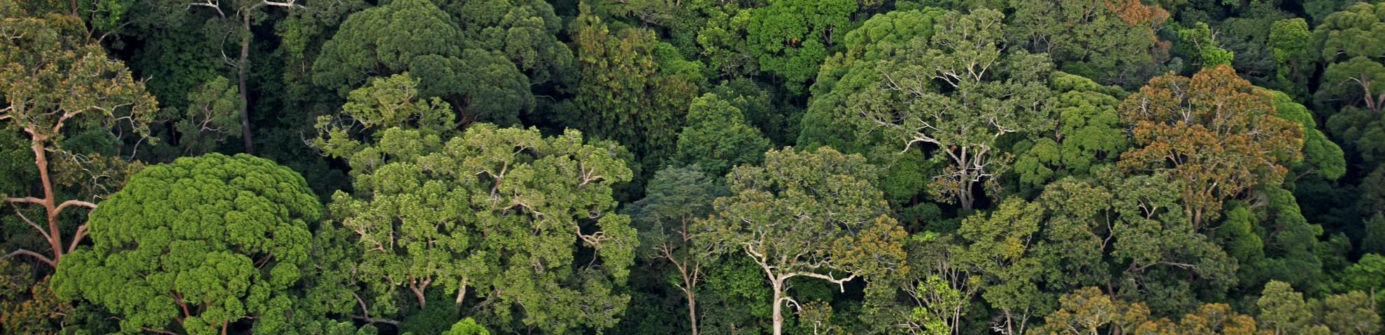
and aboveground biomass (AGB). The study area is located at the 50-ha dynamic plot in a primary forest area of the Pasoh Forest Reserve, a lowland dipterocarp forest, a type of evergreen
tropical moist forest. A number of variables have been produced from the LiDAR metrics. These variables were correlated with AGB that were derived from census data. The study found that the
CHM and a few matrices are the best predictors for AGB and therefore used for the estimation of AGB in the entire study area. The estimated AGB ranged from 52 to 718 Mg ha-1, with a root
mean square error (RMSE) of about 59 Mg ha-1. The study suggests that the AGB estimates produced by this study are the most accurate - with an accuracy of 83% based on the mean
absolute percentage error (MAPE) - as compared to other remotely-sensed based estimates in the study area.