Estimating above‑ground biomass of subtropical forest using airborne LiDAR in Hong Kong
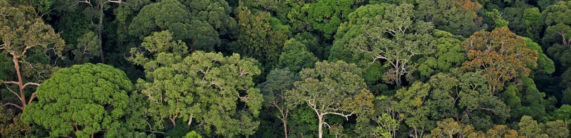
Seventy-percent of the terrestrial area of Hong Kong is covered by vegetation and 40% is protected as the Country Park. The above-ground biomass (AGB) acts as reliable source of carbon sink and while Hong Kong has recognized the importance of carbon sink in forest and urged for forest protection in the latest strategic plan, yet no study has been conducted on assessing the baseline of terrestrial AGB and its carbon storage. This study compared and estimated the AGB by the traditional allometric modeling and the Light Detection and Ranging (LiDAR) plot metrics at plot-level in a subtropical forest of Hong Kong. The study has tested five allometric models which were developed from pantropical regions, subtropical areas and locally. The best model was then selected as the dependent variable to develop the LiDAR-derived AGB model. The raw LiDAR point cloud was pre-processed to normalized height point cloud and hence generating the LiDAR metric as independent variables for the model development. Regression models were used to estimate AGB at various plot sizes (i.e., in 10-m, 5-m and 2.5-m radius). The models were then evaluated statistically and validated by bootstrapping and leave-one-out cross validation (LOOCV). The results indicated the LiDAR metric derived from larger plot size outperformed the smaller plot size, with model R2 of 0.864 and root-mean-square-error (RMSE) of 37.75 kg/ha. It also found that pantropical model was comparable to a site-specific model when including the bioclimatic variable in subtropical forests. This study provides the approach for delineating the baseline of terrestrial above-ground biomass and carbon stock in subtropical forests upon an appropriate plot size is being deployed.