Changes of plant communities classification and species composition along the micro-topography at the Lienhuachih forest dynamics plot in the central Taiwan
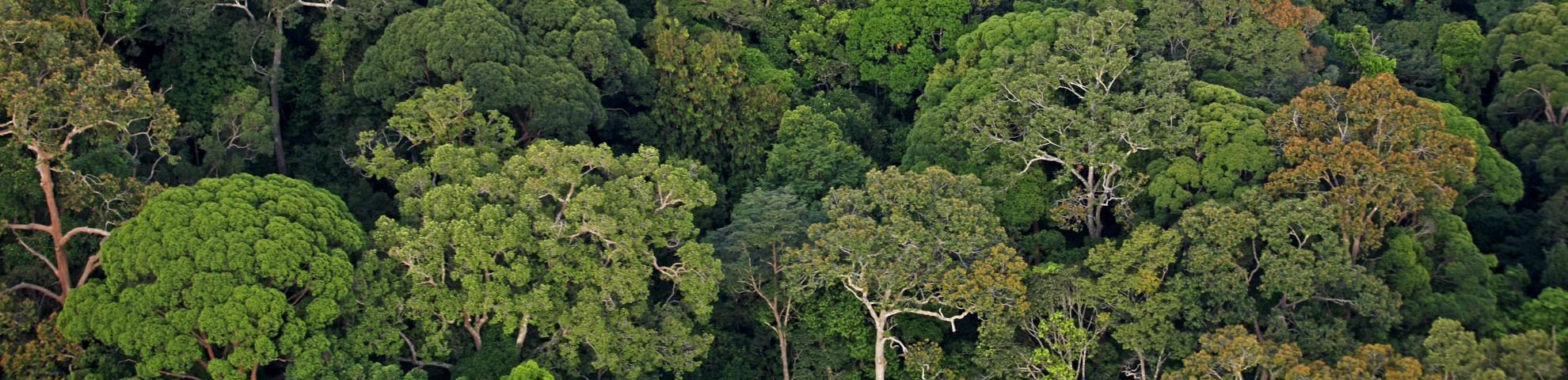
How micro-topography affecting plant communities classification and species composition at one stand-level was investigated through the plant communities and species composition varied across fine-scale environmental heterogeneity at the 25-ha Lienhuachih broad-leaved forest dynamics plot (FDP). All free-standing woody plants with diameter at breast height ≧1 cm were identified, measured, tagged and mapped. Four plant communities were identified and represented with dominant and indicating species based on two-way indicator species analysis (TWINSPAN). Type I, Pasania nantoensis - Randia cochinchinensis, locating on the ridge and the highest elevation was with the highest stem density; Type II, Mallotus paniculatus - Engelhardtia roxburghiana, locating on the upper slope was an ecotone between type I and type III, with the middle stem density and basal area among four plant community types; Type III, Diospyros morrisiana - Cryptocarya chinensis, locating on the lower slope and stream side was with lower stem density but the highest species heterogeneity; and Type IV, Machilus japonica var. kusanoi - Helicia formosana locating on west stream side was with the lowest stem density and basal area. Detrended Correspondence Analysis (DCA) results showed nearly 27.11% of the plant species composition was attributable to micro-topographic variables. Ridge distance, stream distance and convexity were the most important factors effected the changes of plant community and species composition. Classification and regression tree (CART) method was also used to examine the relationship between each single specie and micro-topographic variables. Over 70% species had more than 27.11 % variations which explained by DCA results. To conclude, our results support the existence of habitat association and niche divergence related to micro-topography in a subtropical evergreen broad-leaved forest.
單一地點其微地形如何影響植物社會分類及物種組成,可藉由調查25公頃蓮華池闊 葉林森林動態樣區的植物社會及物種組成沿著異質性微地形的變化而了解。測量樣區內胸 高直徑達到1cm以上的樹木種類及標定其位置,採用雙向指標法(TWINSPAN),依優勢種及 指標種分成不同植物社會類型: 第Ⅰ型: 南投石櫟-茜草樹型 (Pasania nantoensis - Randia cochinchinensis type) 主要分布於山頂陵線,海拔最高、植株密度最大;第Ⅱ型: 白匏子-黃 杞 (Mallotus paniculatus - Engelhardtia roxburghiana type) 是屬於第I型及第Ⅲ型的過渡 帶,分布於中上坡,植株密度、胸高斷面積次之;第Ⅲ型:山紅柿-厚殼桂型 (Diospyros morrisiana - Cryptocarya chinensis type)主要分布在中下坡、溪谷,植株密度較少,但物種種 類的異質性最高;及第Ⅳ型:大葉楠-山龍眼型(Machilus japonica var. kusanoi - Helicia formosana type),分布於樣區西側溪谷附近,植株密度及胸高斷面積皆為最低。另利用降趨 對應分析(DCA)排序法並與微地形等環境因子檢測後發現,有27.11%的物種組成在空間上 分化可以被微地形因子所解釋,又以距稜線距離、距溪溝距離及凹凸度為重要影響的因子。 在單一物種數量變化與微地貌的關係檢測則利用分類與迴歸樹(CART)方法,結果顯示超過 70%的物種受微地形因子影響可解釋變異量大於利用降趨對應分析方法可解釋的27.11%變 異量。總體而言,本研究支持在亞熱帶常綠闊葉林中,各種微地形因子確實會影響生境的 分化以及各物種分布與生育地的關聯性。
Abstract in English and Chinese; article in English.