
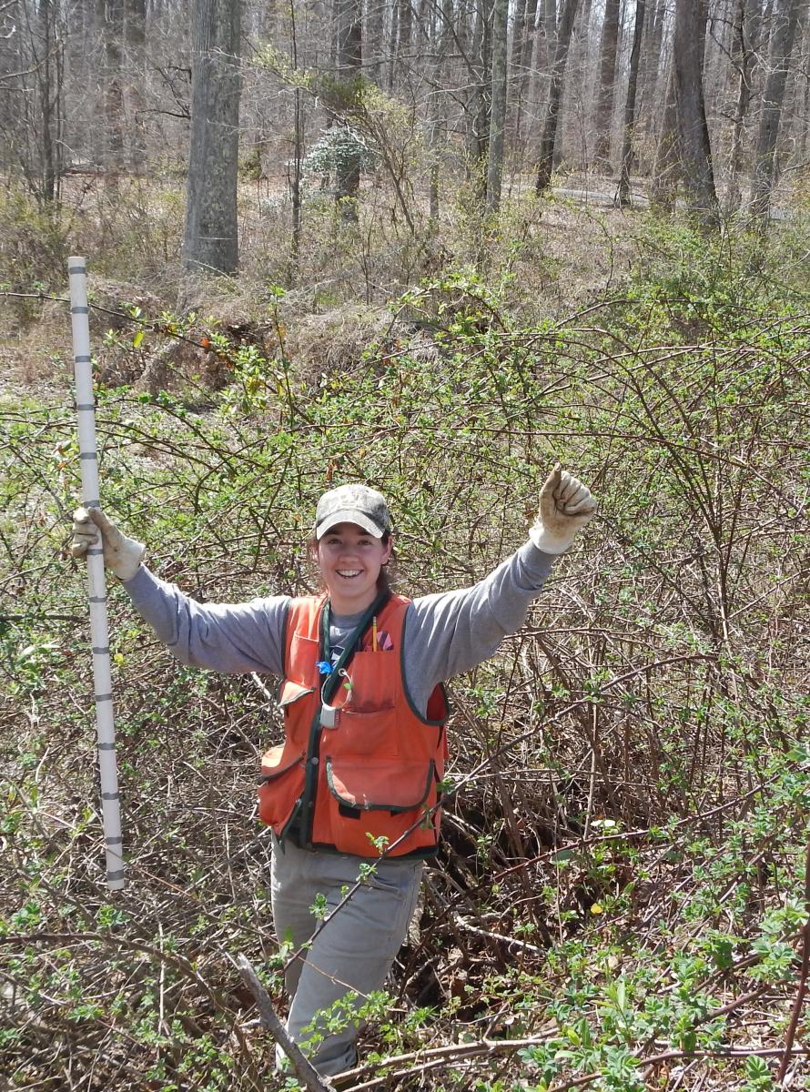
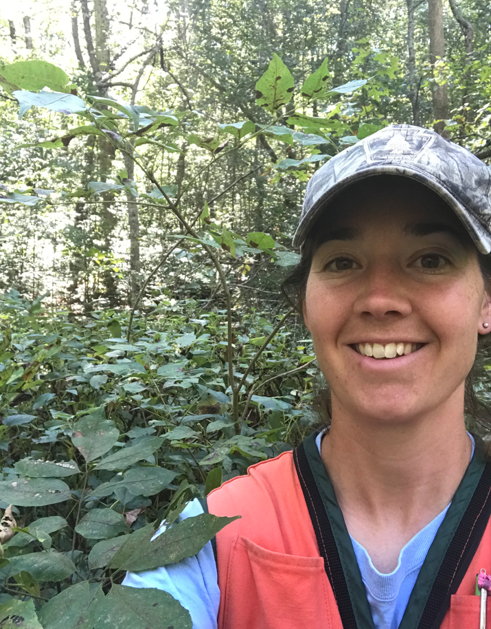
Jess Shue, a ForestGEO Technician, recently joined Sean McMahon and Jess Parker as a Principal Investigator at the Smithsonian Environmental Research Center (SERC) plot in Edgewater, Maryland. We sat down with her to discuss her experience at SERC and her new role.
How long have you been working at SERC? What’s your background?
I’ve been working at SERC for 12 years – I started volunteering in December of 2010 and was hired in March 2011. Before I started at SERC, I worked for the National Park Service at Assateague Island National Seashore, a barrier island on the coast of Maryland. I was doing invasive plant management and mapping and spraying Phragmites australis infestations. I got my degree in forest management, so I had a lot of plant ID skills which were good for the job, but I knew I didn’t want to spray herbicide for my career. I had a connection at SERC who shared my résumé with staff, and I started volunteering after my seasonal job with NPS ended. I treated it like a job, coming in 8am-4pm every day, and it ultimately transitioned into a full-time position. I’m originally form Pennsylvania, but I got my first job with NPS in Maryland and never left after that.
How have you seen the plot change over the course of that time?
One way I’ve seen a lot of change occur in the plot is with the Emerald Ash Borer (EAB). EAB was first found in Western Maryland in 2003. During our 2014 census everything looked okay, but we started monitoring the trees more seriously and evaluating their condition in 2016. In the 2019 census, we found that over 50% of large ash trees (>20cm DBH) were dead, so the ash trees have really suffered. But we have seen quite a bit of regeneration as well, since many trees produced seeds before they died. In the same 2019 census, we also found several hundred ash saplings in the floodplain area of the plot. With the absence of the large ash trees, that increased light availability in some areas, so that’s another way the plot has really changed due to the EAB. It will be interesting to see how these dynamics continue to change over time – how the regenerated saplings will fare and if EAB will attack them again, and if so, at what size.
What does your workflow look like? Do you spend most of your time in the field?
It depends on the time of year and what projects we have on the ground at a given time. Some years we have a grant for a special project and I’m in the field all the time, whereas other years I’m doing more data work. I would say it’s about 40% in the field and 60% in the office. A lot of times, I’m not necessarily analyzing SERC data, I’m cleaning data and preparing it. But I also help other sites prepare their data or build data entry apps and whatnot. The data work I’m doing is sort of the nuts and bolts trying to keep things clean and organized and prepared for that next census or that next measurement. I’m fortunate to have a good mix of things.
What are you working on at SERC now?
One of our ongoing research efforts at SERC involves dendrometer bands. I measure almost 500 bands each week. By our lab measuring the dendrometer bands weekly, we can really see the pattern in growth throughout the year of the trees on a fine scale. At SERC, there are over 20 labs, and we collaborate with some of them on different projects. There’s currently a big project with the U.S. Department of Energy and SERC’s Biogeochemistry lab, called TEMPEST. They have 3, 50-by-50-meter experimental plots and we’re actually flooding them on purpose in an attempt to replicate a storm surge event. There’s a saltwater plot (they pump water from the river here and are putting that saline water across a 50x50m area), and a freshwater plot (they’re filling giant tanks with pool water and performing a freshwater inundation), and a third plot is the control. By measuring the over 300 dendrometer bands weekly at the TEMPEST site we can track how the trees are responding and further our understanding of how forests may respond to similar natural weather events.
Can you tell me more about using iPads for censuses to do data entry in the field?
As early as 2012, I have been using an iPad to enter data. Honestly, it was born out of necessity for me to be able to collect the data efficiently. I use an app called numbers which is basically just a spreadsheet, nothing fancy, but things are getting more sophisticated. We have other apps now that are providing more checks and QAQC on the data in real time, which is really helpful. It’s also a bit of an early warning system, since on an iPad, I can find an error pretty quickly. I can have a calculation field that determines the difference between my measurements and tells me, “Hey, that sounds too high” or “that's too low.”
How do you think that your experience with SERC led to your PI position? As a PI, do you have any added responsibilities?
I’ve spent a lot of time out in the woods actually measuring things, looking at things, and then manipulating data to get it into a certain format for different people, making corrections and helping other people understand what’s going on. I sort of by default became the point person for the data, and now moving into the role with Sean [McMahon] and Jess [Parker], taking that official title. I’ve been given more and more responsibility over time and my knowledge about the site has really increased over the years. It’s a lot of the same responsibilities I’ve been building over the course of my time here, but I think I now have a bit more input about what science happens here and can give more guidance about what questions researchers should be asking. It’s been exciting.
How do you like being a part of the PI team with Sean McMahon and Jess Parker, and being a part of the ForestGEO community in general?
It’s a wonderful team to be a part of. Parker has been here for over 30 years now, and he’s actually recently retired, but his knowledge of the SERC forest and science knowledge overall is so vast. To have someone like that to ask questions and get answers from is an invaluable resource. Same with Sean – he’s so knowledgeable across the board, across ForestGEO, what’s going on at different sites, statistically what makes sense and how to run analyses, and what questions to ask in the first place. They’re both such great resources. ForestGEO has done a really good job of creating a community over the years, especially with the workshops. People really get the chance to know one another and collaborate and work together across the network. It’s really wonderful. And I feel quite honored to be added to the list of big names. I wasn’t necessarily expecting it, so it’s a nice surprise.